Trail guides
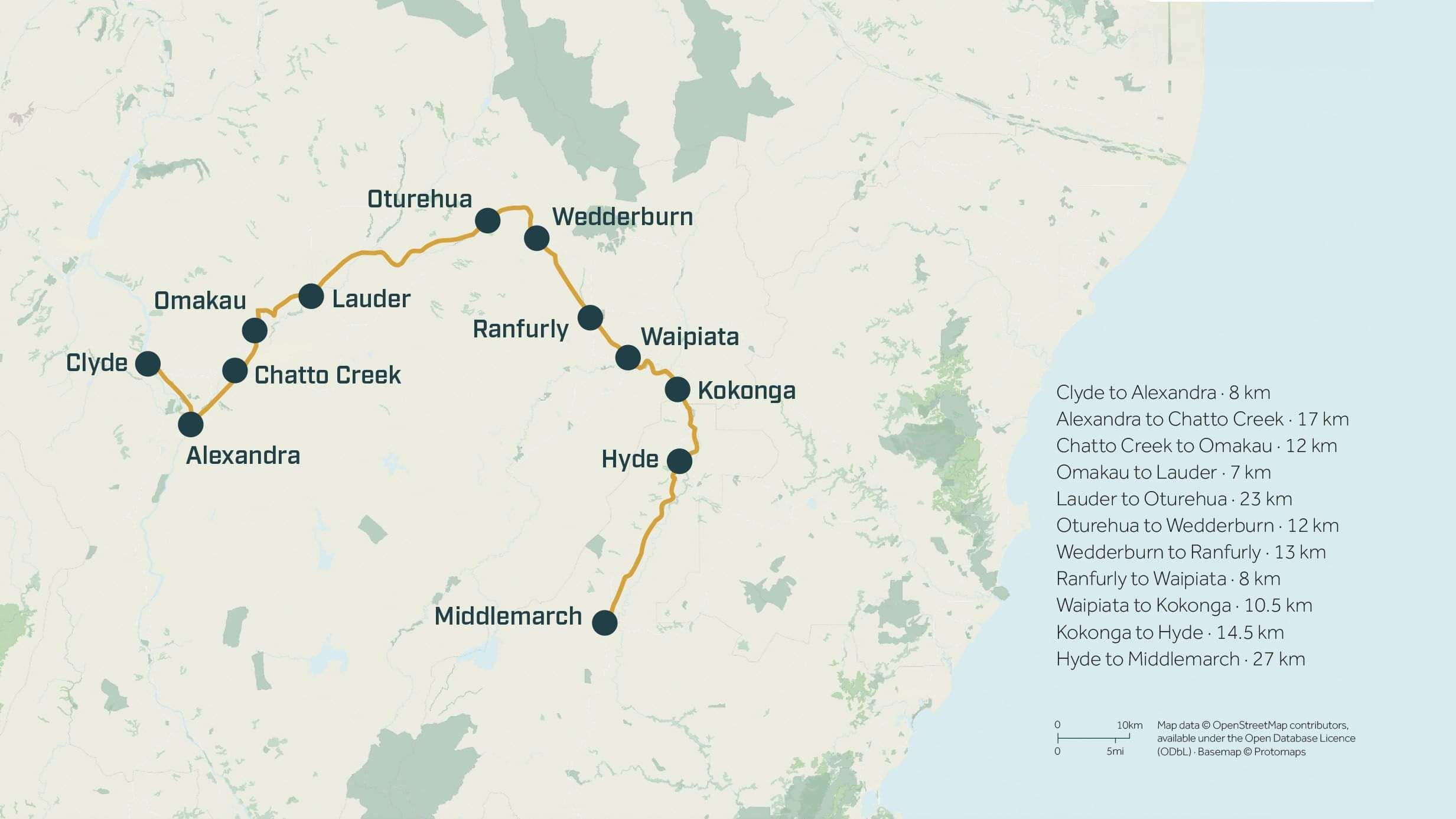
Otago Central Rail Trail map

152 km

Clyde to Middlemarch

Grade 1, gentle the whole way

Most ride it in 3 to 4 days

Rideable both ways, our tour rides Clyde to Middlemarch

Open year round, our tours run spring to autumn
Trail status
The trail at a glance
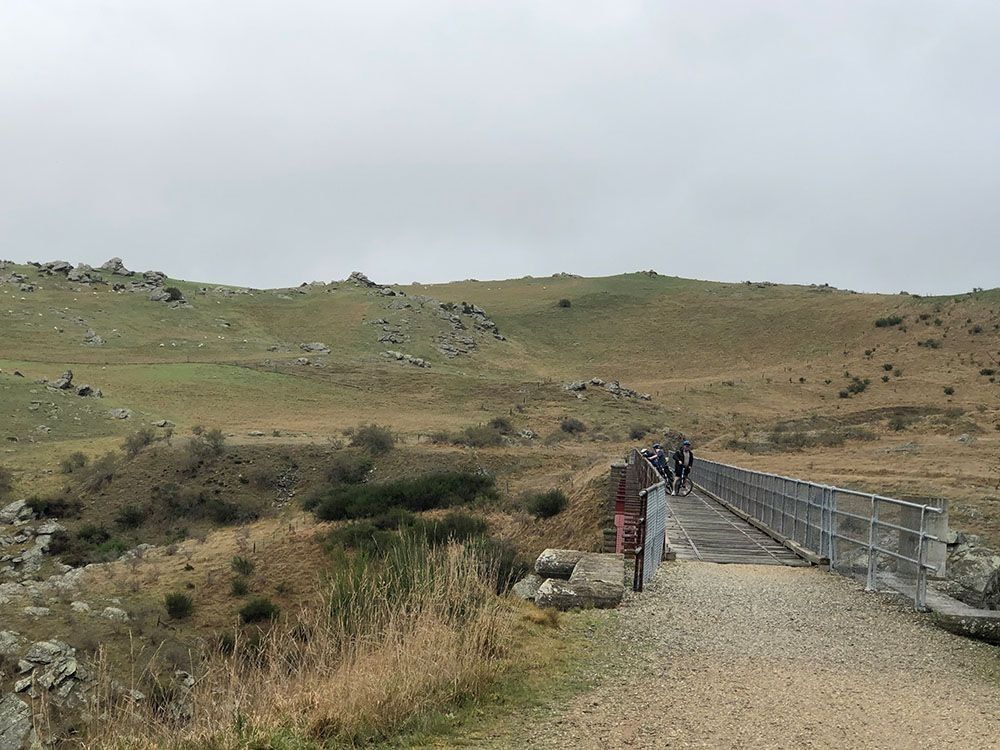
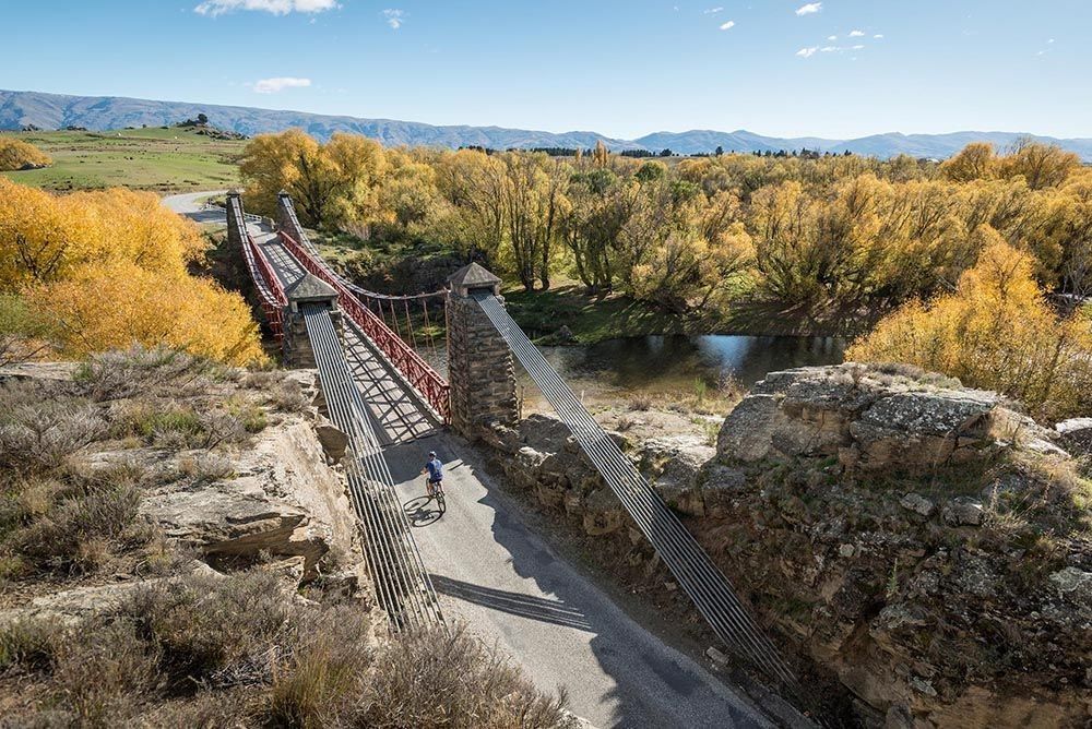
The Otago Central Rail Trail follows the old Central Otago railway for 152 kilometres between Clyde and Middlemarch, and because trains never liked hills, neither will you: the gradient never exceeds the railway's gentle climb, topping out at 618 metres near Wedderburn so gradually it barely announces itself. Along the way: three tunnels, more than sixty bridges and viaducts, gold-era towns, and the wide golden theatre of the Maniototo.
This page is the reference: the map, the sections, the distances and the trailheads. For the full planning picture, when to ride, where to stay, what the weather really does and who runs what, read our complete guide >
Map
This is the whole trail, Clyde to Middlemarch and everything between. Our tours ride all of it, in that direction, over three or four unhurried days: see how we do it >
For live conditions and official notices, see the official trail site >
Section by section
Clyde to Alexandra · 8 km.
River flats, an easy warm-up, about 50 minutes riding.
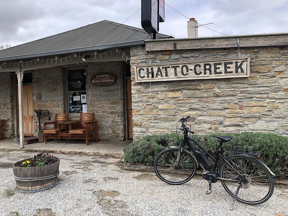
Alexandra to Chatto Creek · 17 km.
Orchard and schist country to a classic country pub stop.
Chatto Creek to Omakau · 12 km.
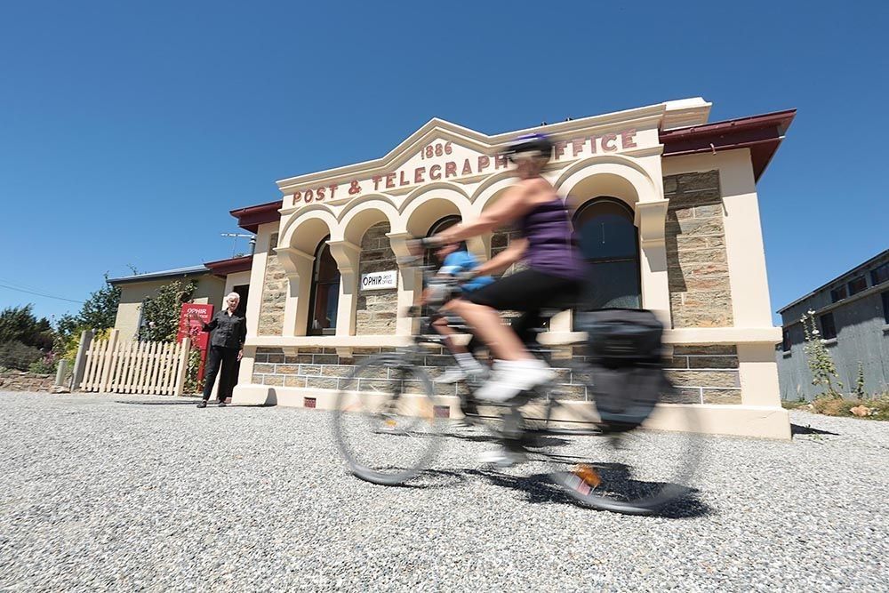
Over Tiger Hill country, with the Ophir side trip near Omakau.
Omakau to Lauder · 7 km.
Short hop, big sky.
Lauder to Oturehua · 23 km.
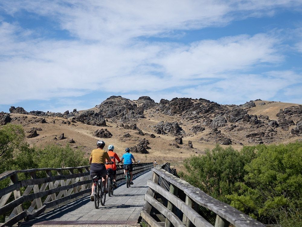
The trail's showpiece: the Poolburn Gorge, both tunnels and the viaduct. Carry a torch.
Oturehua to Wedderburn · 12 km.
Past the 618 metre summit, the trail's highest point.
Wedderburn to Ranfurly · 13 km.
Rolling down into the Maniototo's art deco capital.
Ranfurly to Waipiata · 8 km.
Open plain riding.
Waipiata to Kokonga · 10.5 km.
Big-sky Maniototo, with the DOC trailside camping between the two.
Kokonga to Hyde · 14.5 km.
The quiet stretch.
Hyde to Middlemarch · 27 km.
The Hyde rail disaster memorial just south of town, then Prices Creek tunnel and the Rock and Pillar Range escorting you home.
Access and Trailheads
The Clyde trailhead sits at the Springvale Road corner just out of town, about an hour's drive from Queenstown airport. The Middlemarch trailhead is 400 metres north of the old station, about fifty minutes from Dunedin airport. The trail rides both ways, and most people, ourselves included, ride it Clyde to Middlemarch.
Ride it with the logistics handled

Otago Central Rail Trail Tour, 4 day, self-guided
Ten nights, Christchurch return, with the TranzAlpine on the route. The best trails in the South of the South Island.

Otago Central Rail Trail Tour, 3 day, self-guided
Ten nights from the West Coast to Kaikōura, e-bikes all the way. The best trails in the North of the North Island.
Trail photography courtesy of the Otago Central Rail Trail Trust, used with permission under the Otago Central Rail Trail Visual Library licence. Photographers: James Jubb, Tim Hawkins, and Clare Toia-Bailey / image-central.